In this section we have created a series of pages designed to help you understand LiDAR data and how it can be used to read the landscape. There is also information on other LiDAR projects and the Terms of Use of this portal.
A series of informative tutorials have been created to help you in using and understanding the information on the Portal, including How to Digitise and Record, Gazetteer of Monument Types, How to Read LiDAR and Guide to Groundtruthing. You must be registered and logged in to the site however to access and view these. Once you are logged in, this ‘Tutorials’ page will appear under the Resources section.
Registration on the Portal
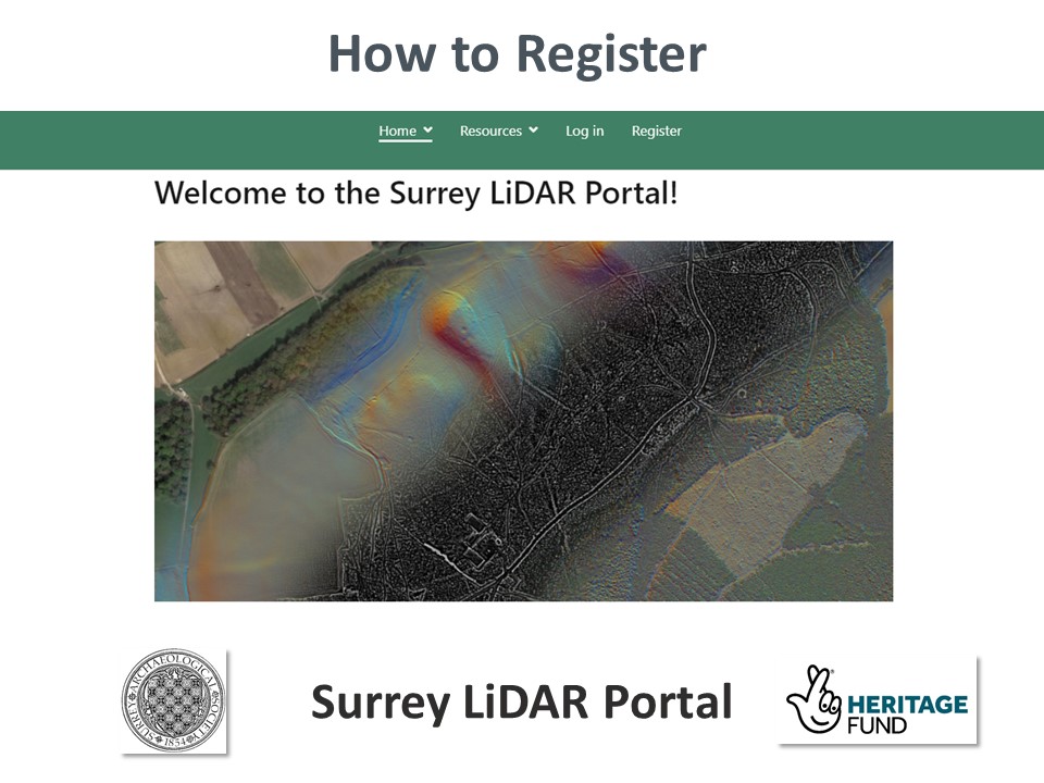
If you want to access the LiDAR portal, click on the image to the left to open the registration instructions.